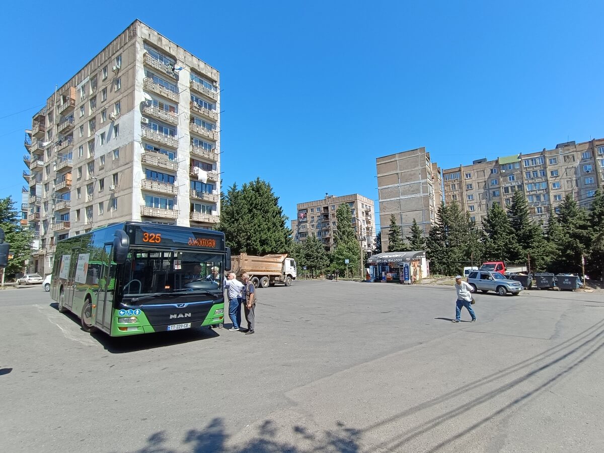
Vazisubani
A large residential district in eastern Tbilisi, built along the gentle slopes of Mount Makhata.
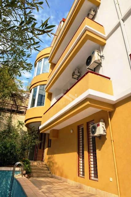
დანელიას ქუჩა, 17
4
840 m²
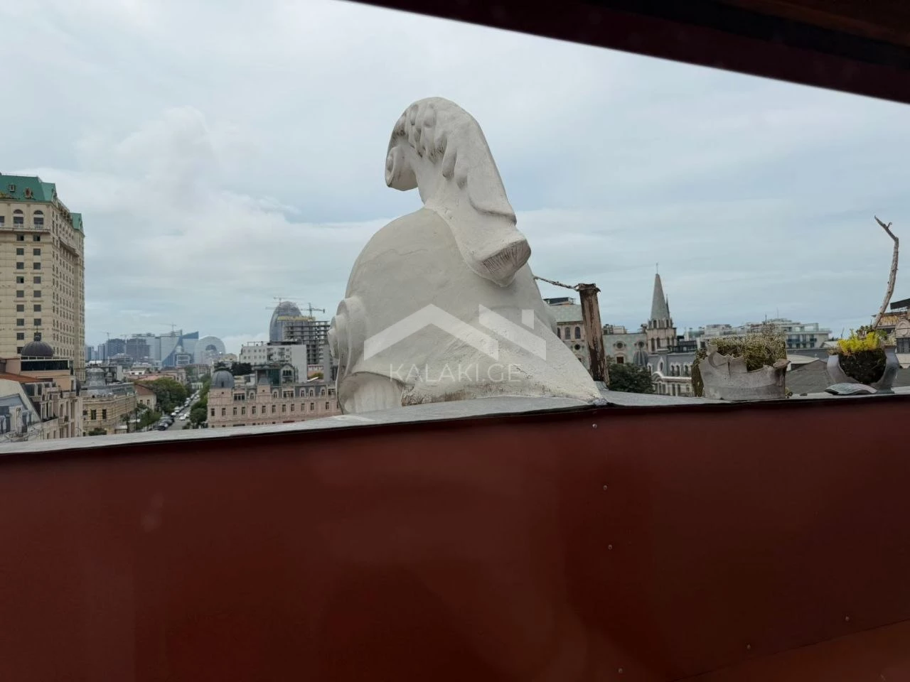
მემედ აბაშიძის ქუჩა, 1
3
133 m²
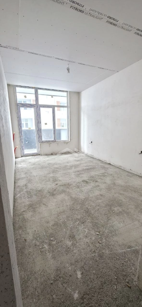
ზღვისპირის ქუჩა, 1
1
49.1 m²
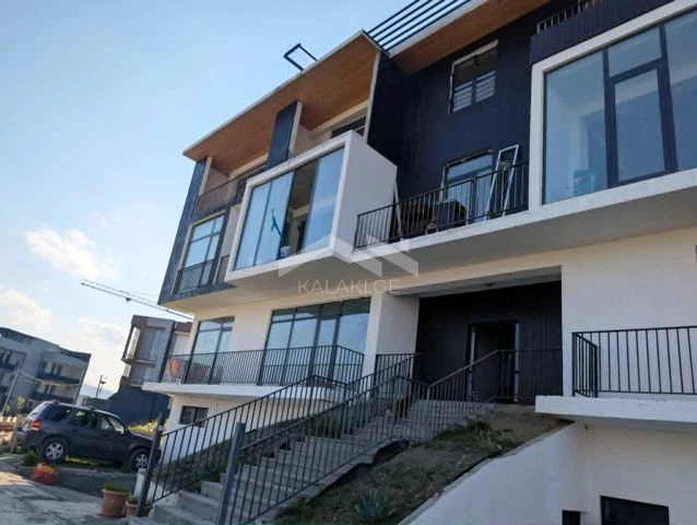
ცაცხვების ქუჩა, 5
2
109 m²
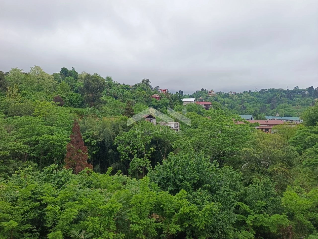
მახინჯაური, 1
3
200 m²
ლორთქიფანიძის ქუჩა, 1
1
39 m²
A large residential district in eastern Tbilisi, built along the gentle slopes of Mount Makhata.
Vazisubani is not the largest Soviet-era residential district in Tbilisi, though it consists of four full microdistricts and a smaller settlement of the same name. Its southeastern corner borders the Varketili metro station, which was originally planned to become the starting point of Tbilisi’s third metro line. Part of the extension was actually built in Vazisubani, but construction stopped after the collapse of the Soviet Union.
The district’s landscape is directly connected to both its name and its history. Back in Soviet times, when Tbilisi had not yet expanded this far east from the center, the slopes of Mount Makhata were covered with vineyards belonging both to private households and the Agricultural Institute. In many ways, the future district’s name was predetermined — Vazisubani literally means “vine district.”
The district’s landscape is directly connected to both its name and its history. Back in Soviet times, when Tbilisi had not yet expanded this far east from the center, the slopes of Mount Makhata were covered with vineyards belonging both to private households and the Agricultural Institute. In many ways, the future district’s name was predetermined — Vazisubani literally means “vine district.”
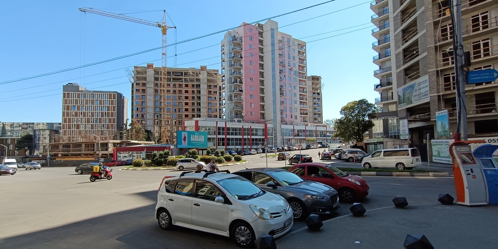
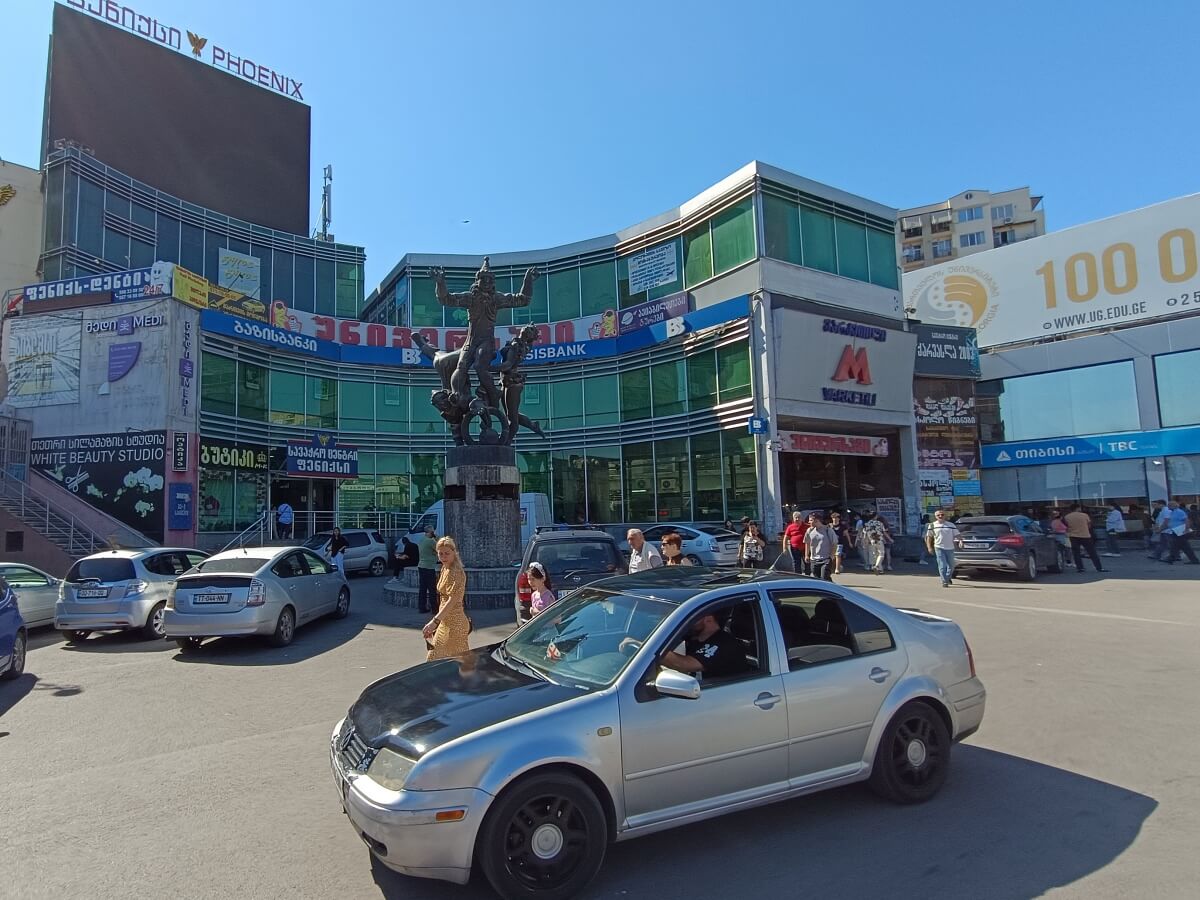
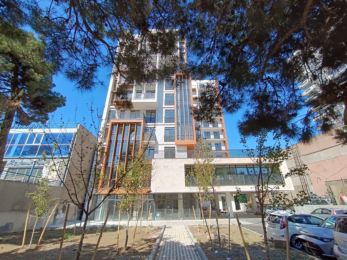
The presence of the metro influenced not only retail growth, but residential construction as well. Elizaveta Nakashidze-Bolkvadze Street, for example, is now almost entirely lined with modern apartment towers:
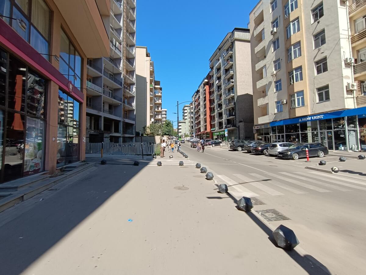
Tower cranes are everywhere. The high potential value of real estate here pushes developers to constantly search for new plots of land.
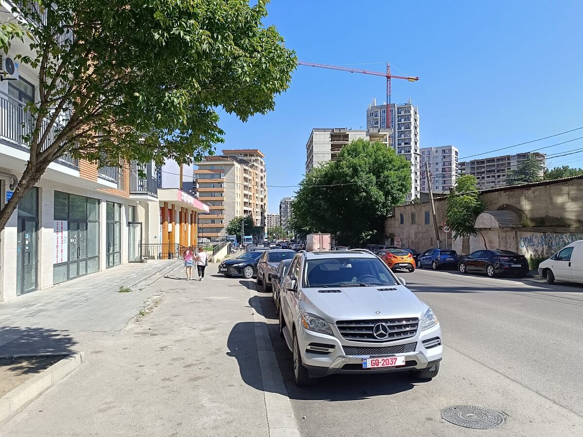
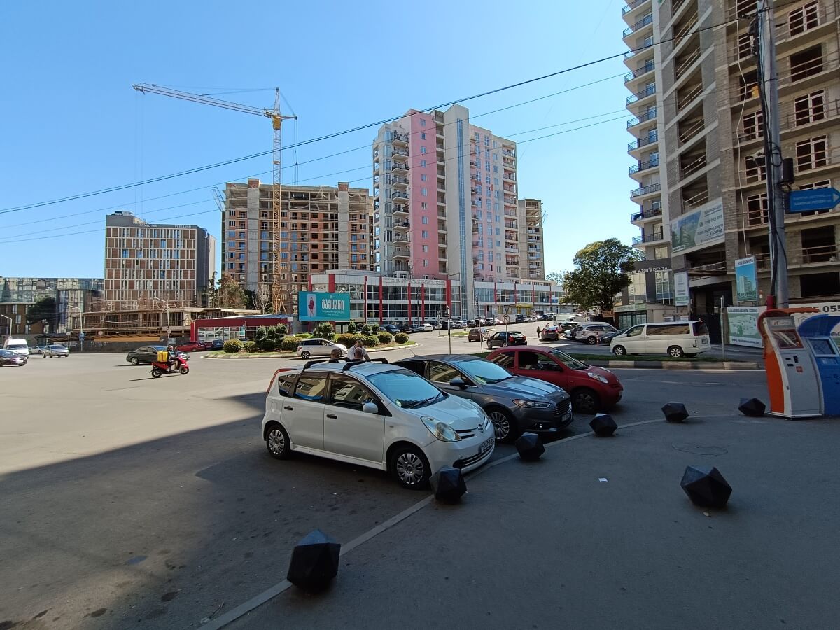
Shandor Petefi Street climbs uphill through the district and can be considered Vazisubani’s central artery. As it continues, the street changes its name twice and connects all of the neighborhood’s microdistricts together.
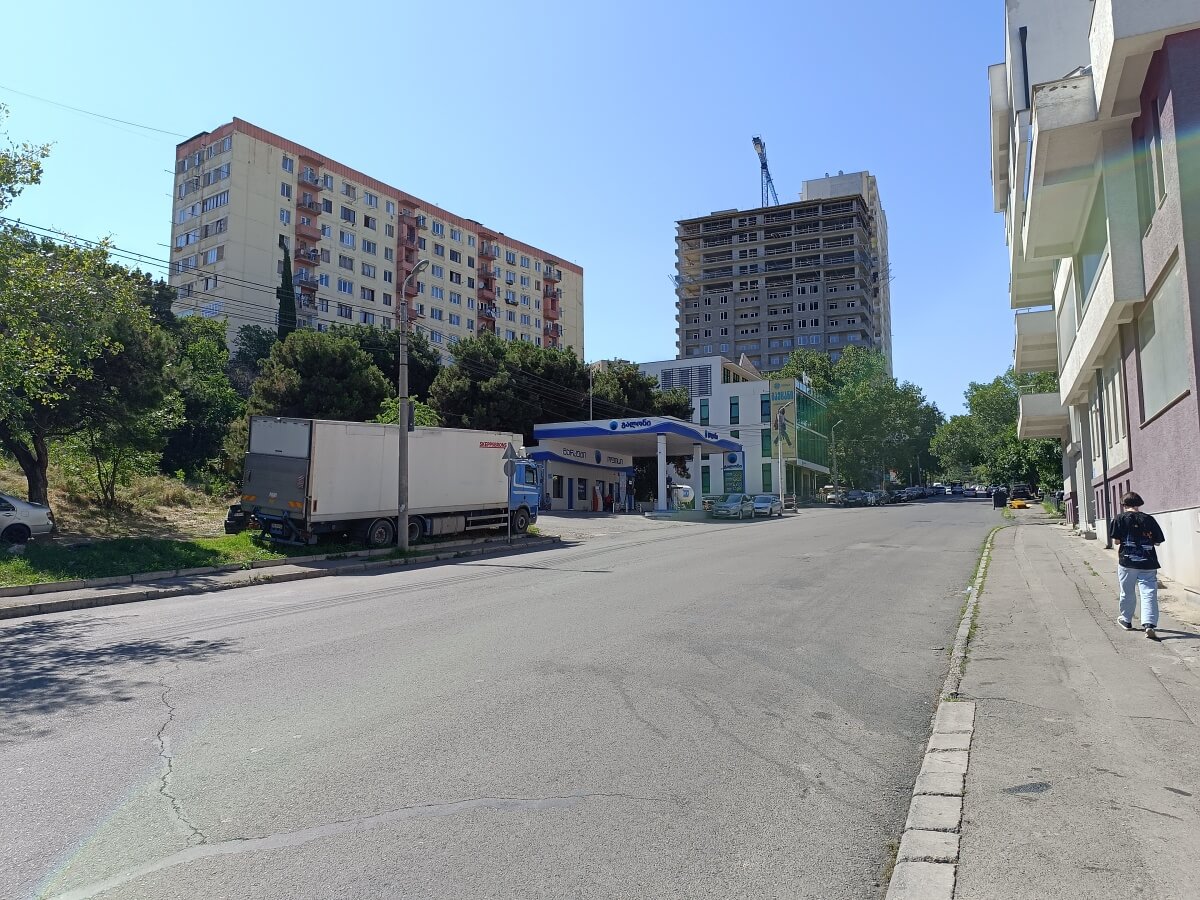
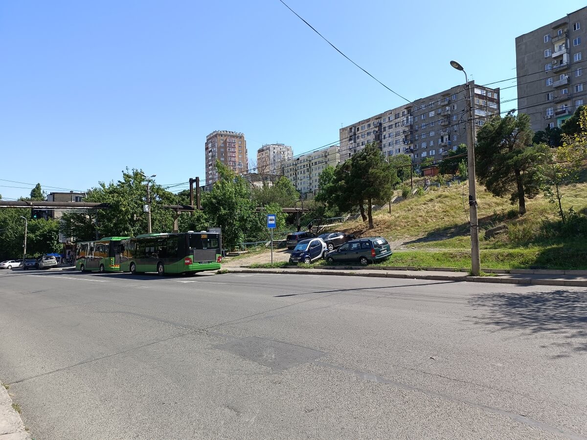
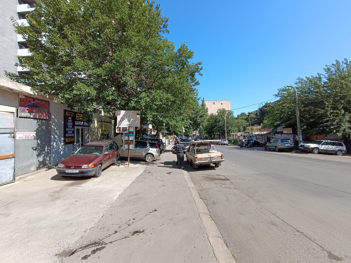
Farther away from the metro station, new developments almost completely disappear, giving way to Soviet-era housing. The district’s architecture becomes highly uniform: panel apartment blocks of several standard Soviet series built during the Brezhnev and Perestroika periods.
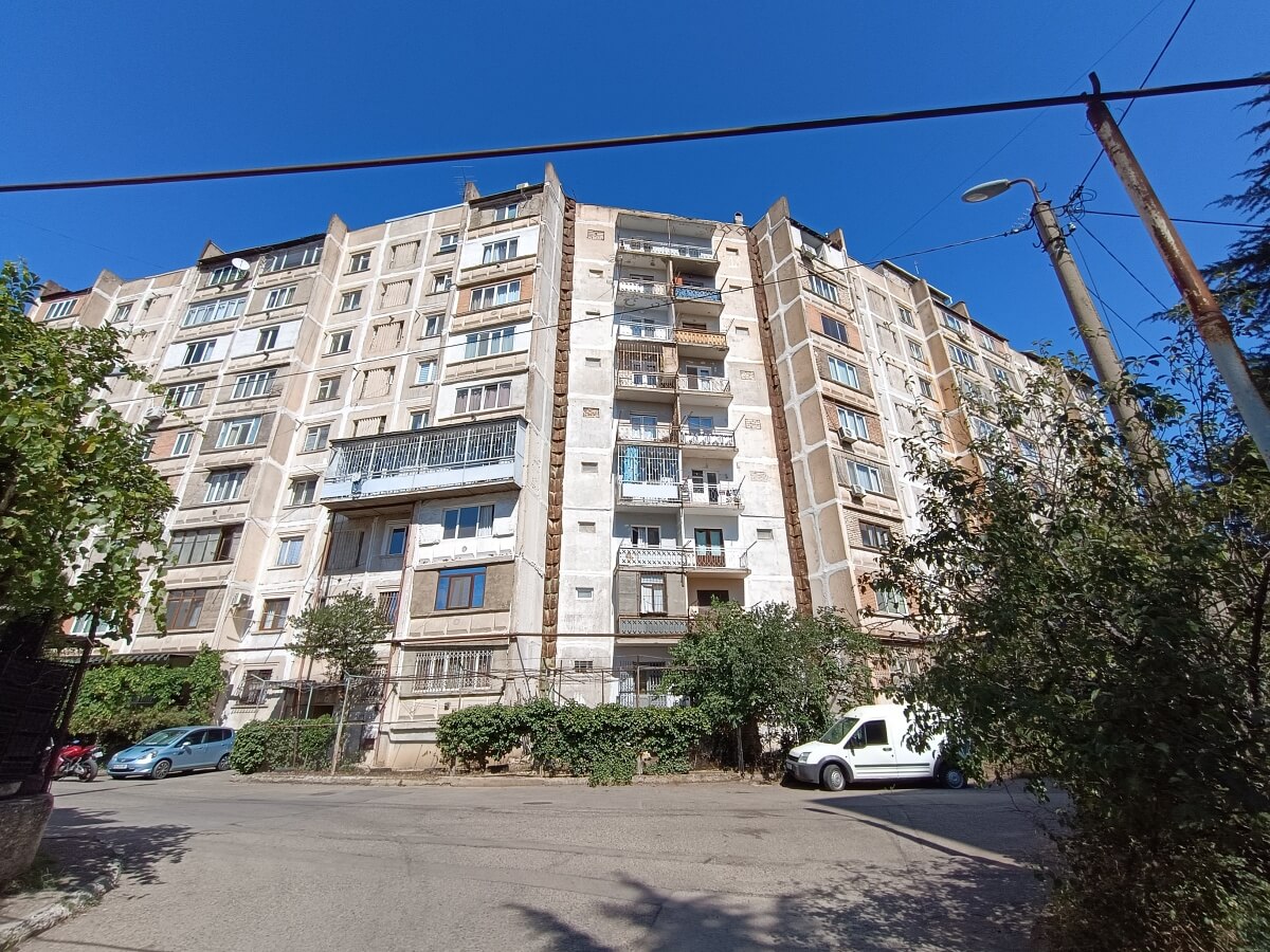
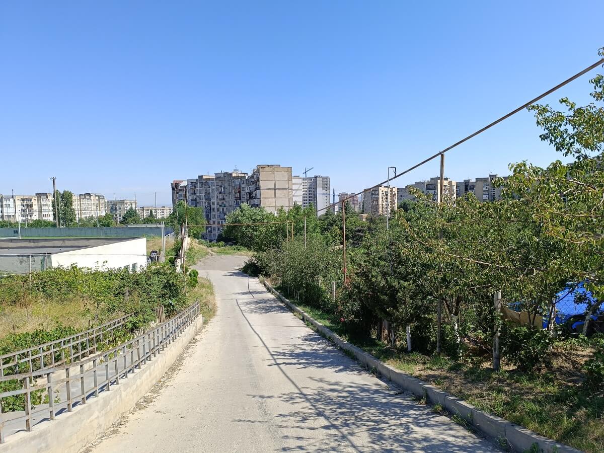
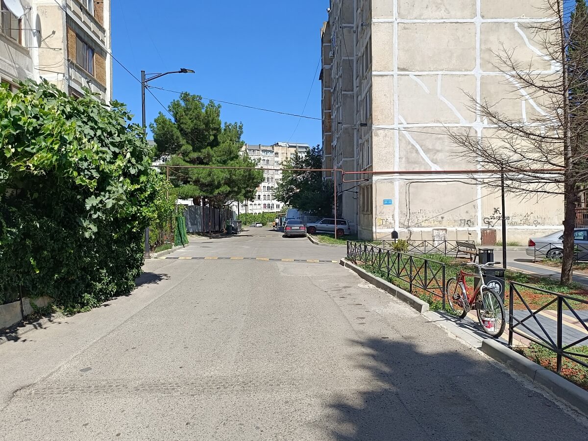
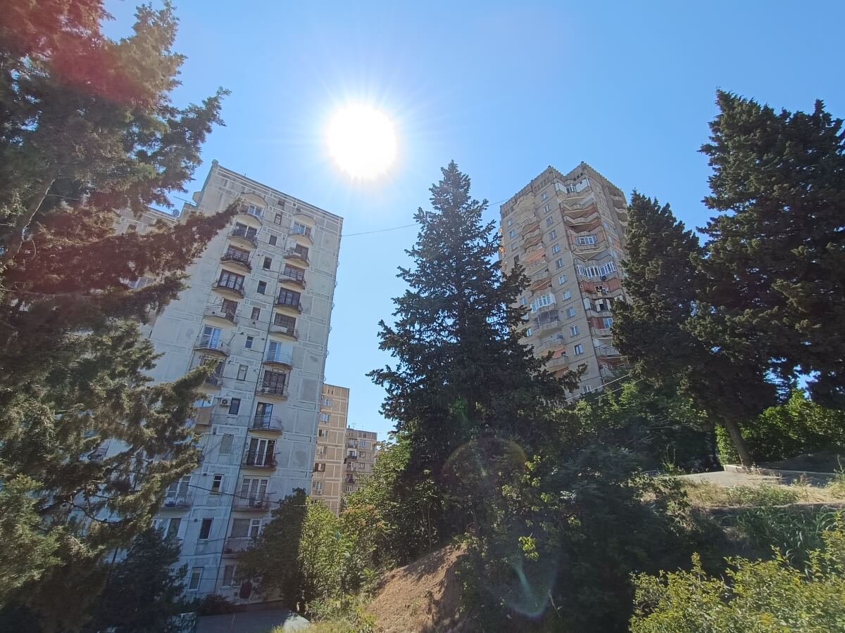
Most likely, the slopes once held not only vineyards, but also pine groves. Small groups of coniferous trees still survive in places today, adding character and greenery to Vazisubani.
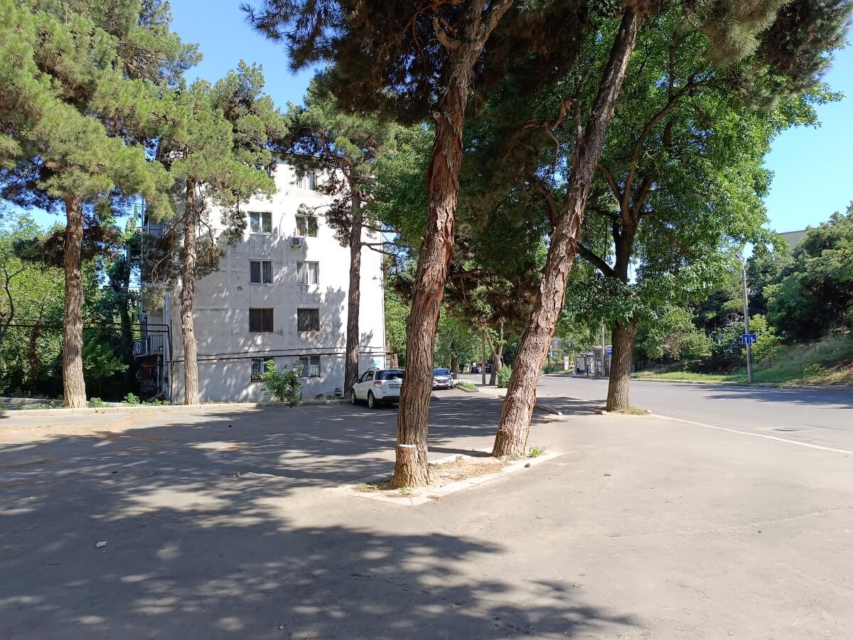
It is worth noting that the district’s terrain is truly dramatic. Beyond the steep hillsides, there are also deep ravines formed naturally between the ridges of Mount Makhata. This ravine, for example, separates the first and second microdistricts:
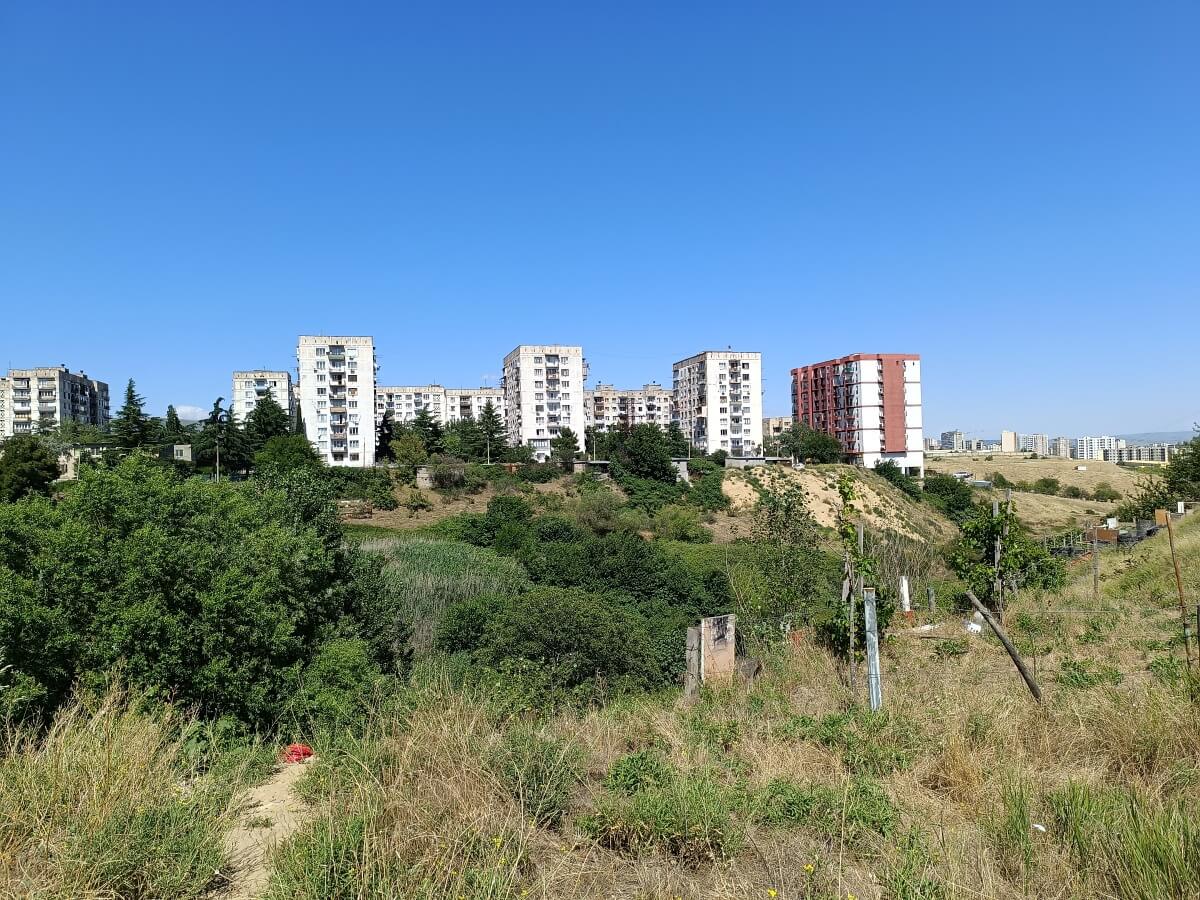
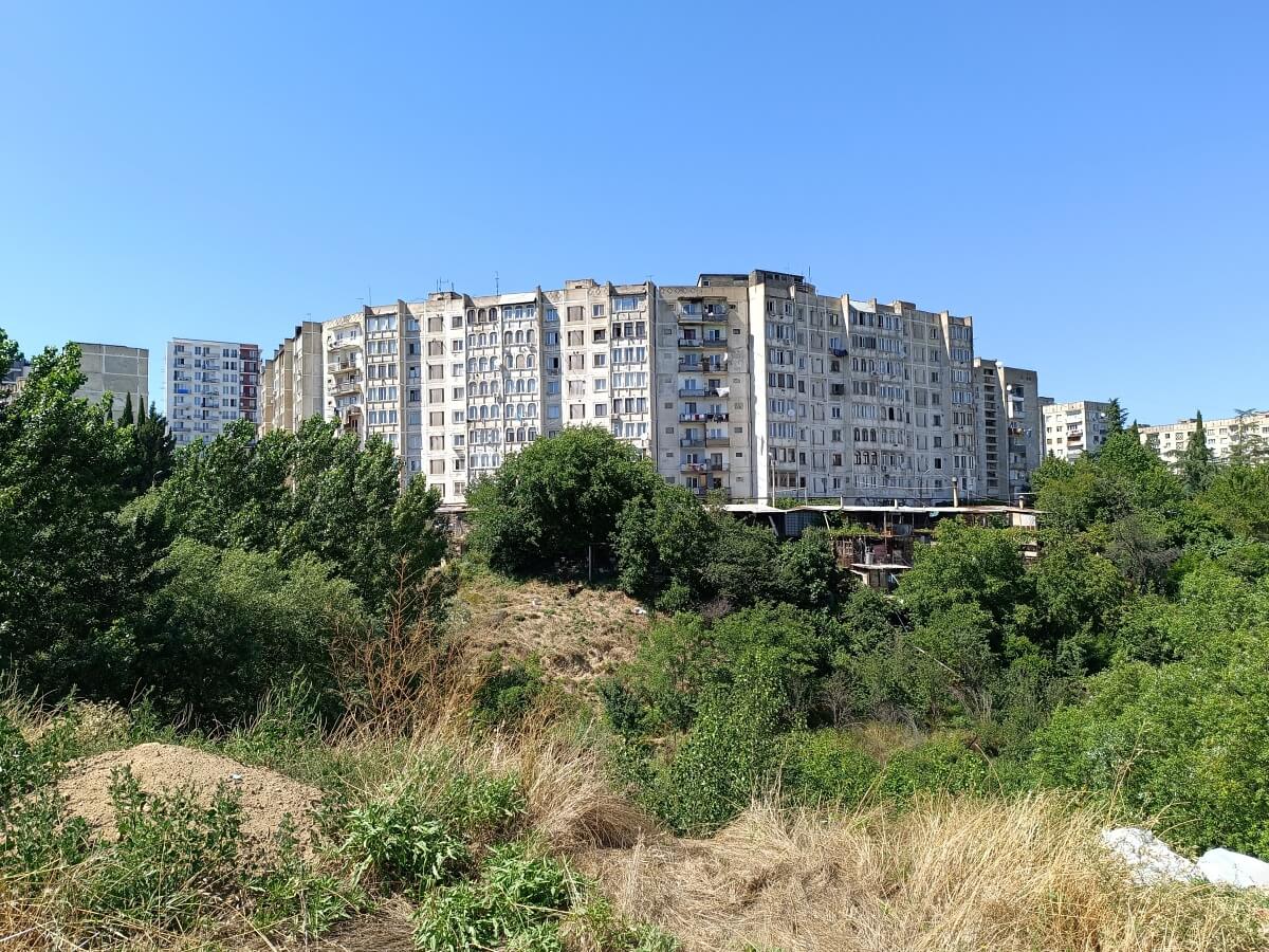
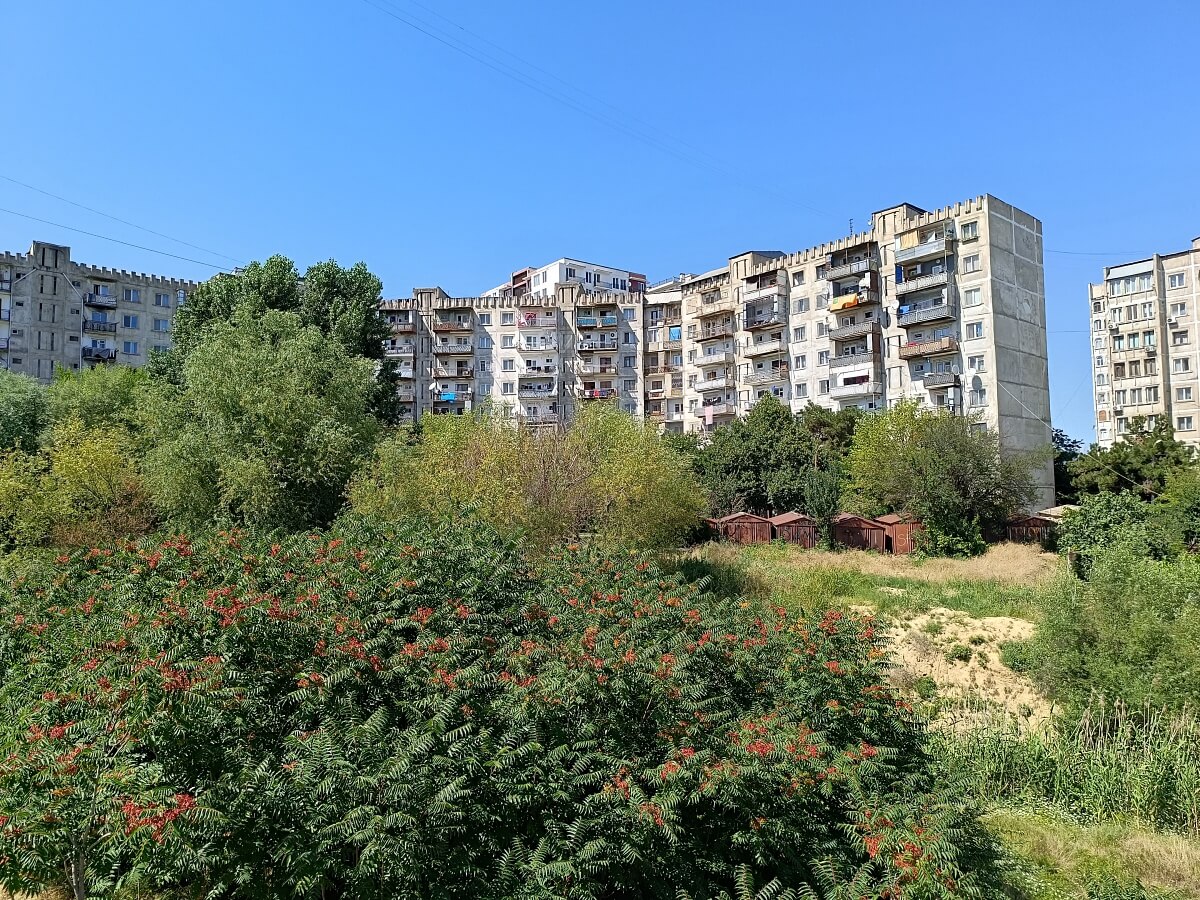
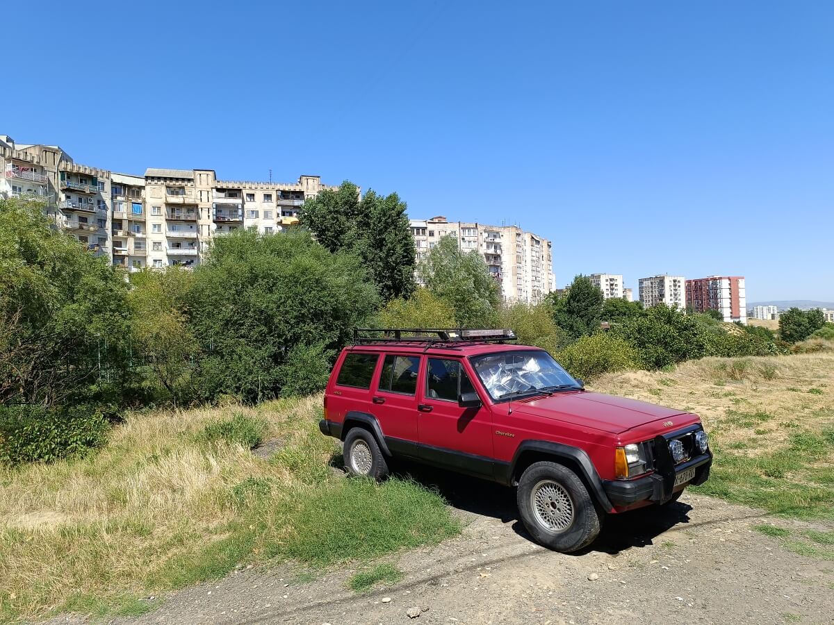
In this photo, the third microdistrict can be seen below:
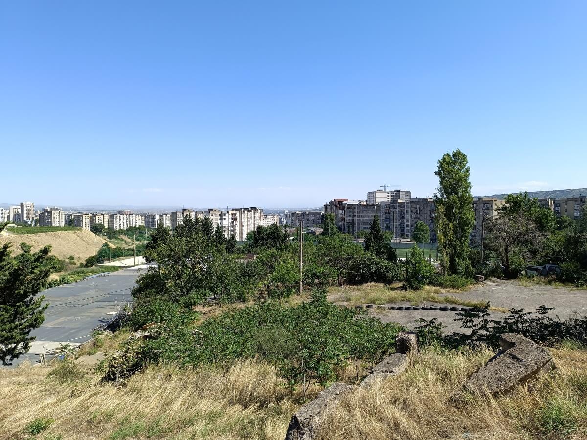
Occasionally, modern infill developments appear among the older buildings. Typical Tbilisi economy-class housing shaped by the nature of the district itself:
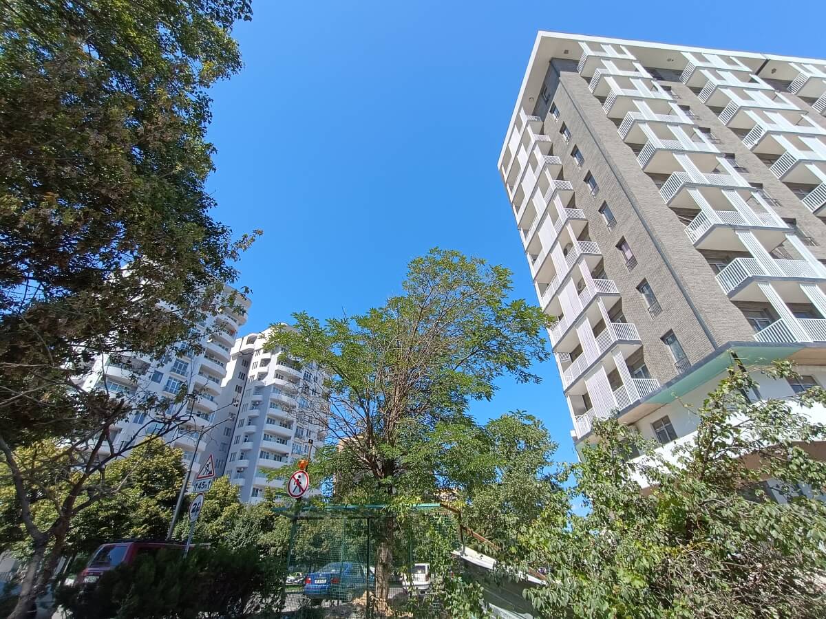
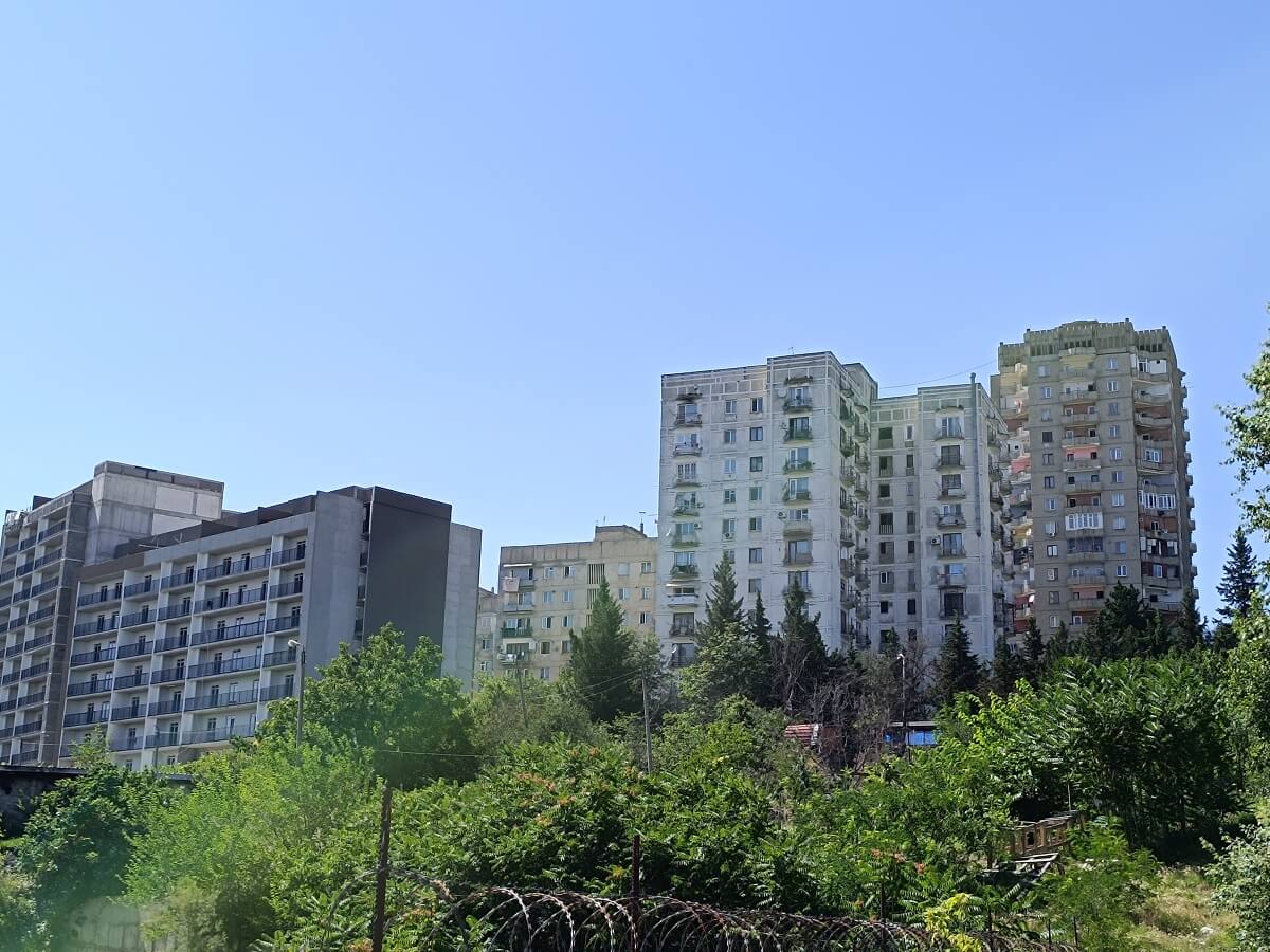
Zurab Pataridze Street and Boulevard connect Vazisubani with Varketili, the Tbilisi Sea, and the Olympic Village:
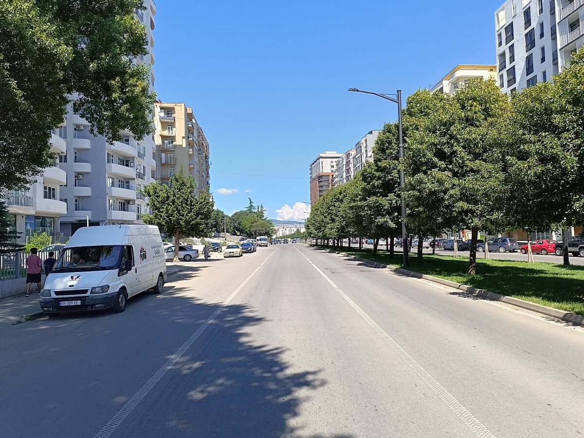
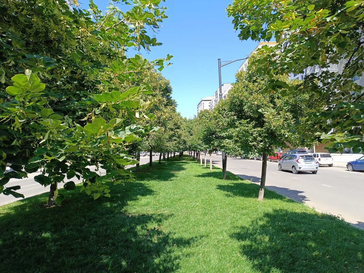
At the corner of Pataridze and Davitaya Streets:
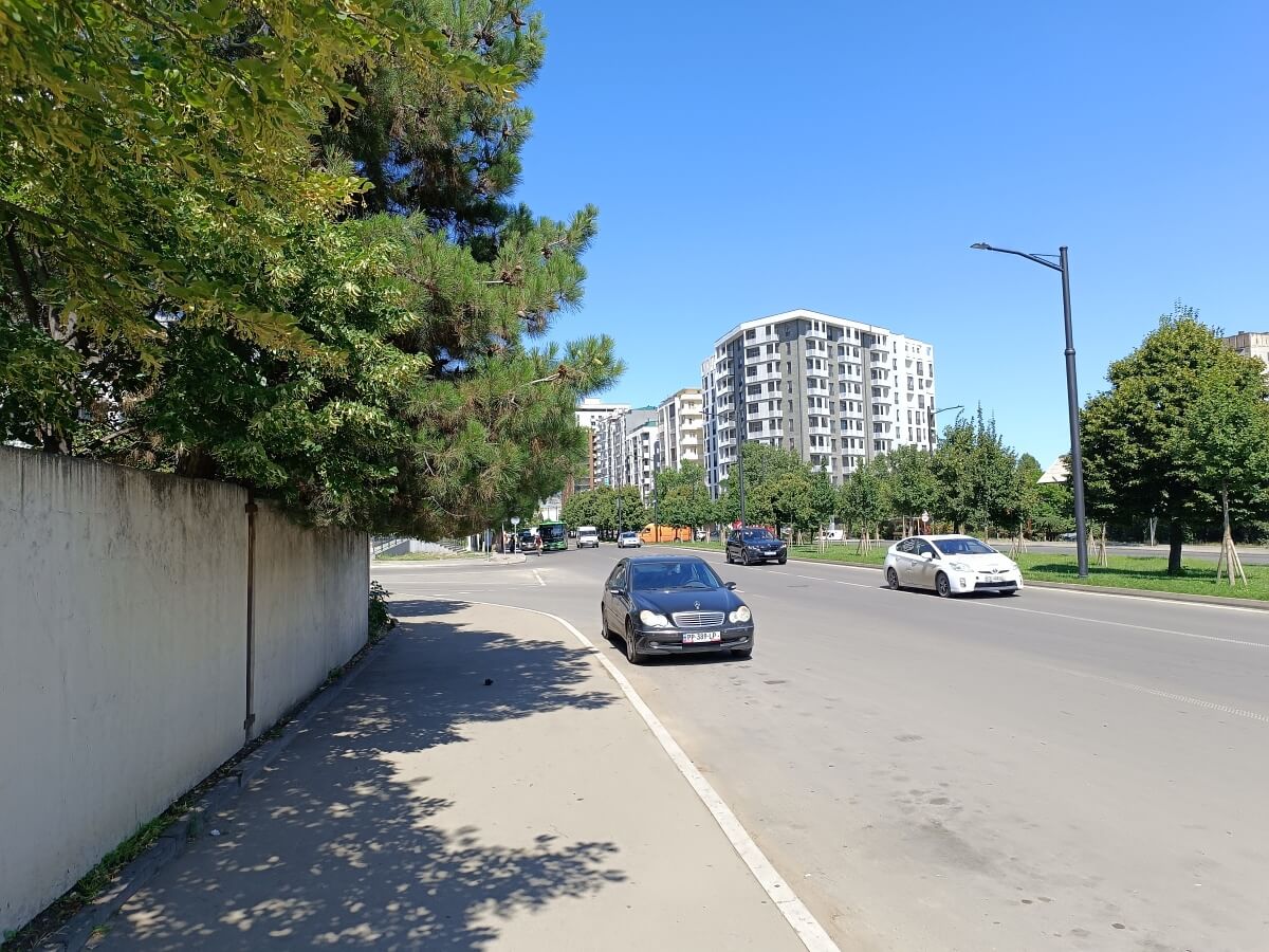
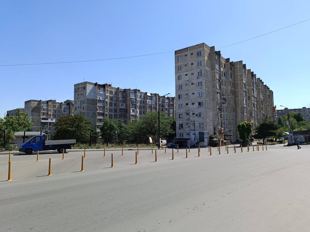
A high-rise architectural accent:
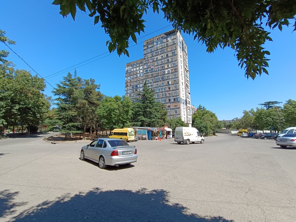
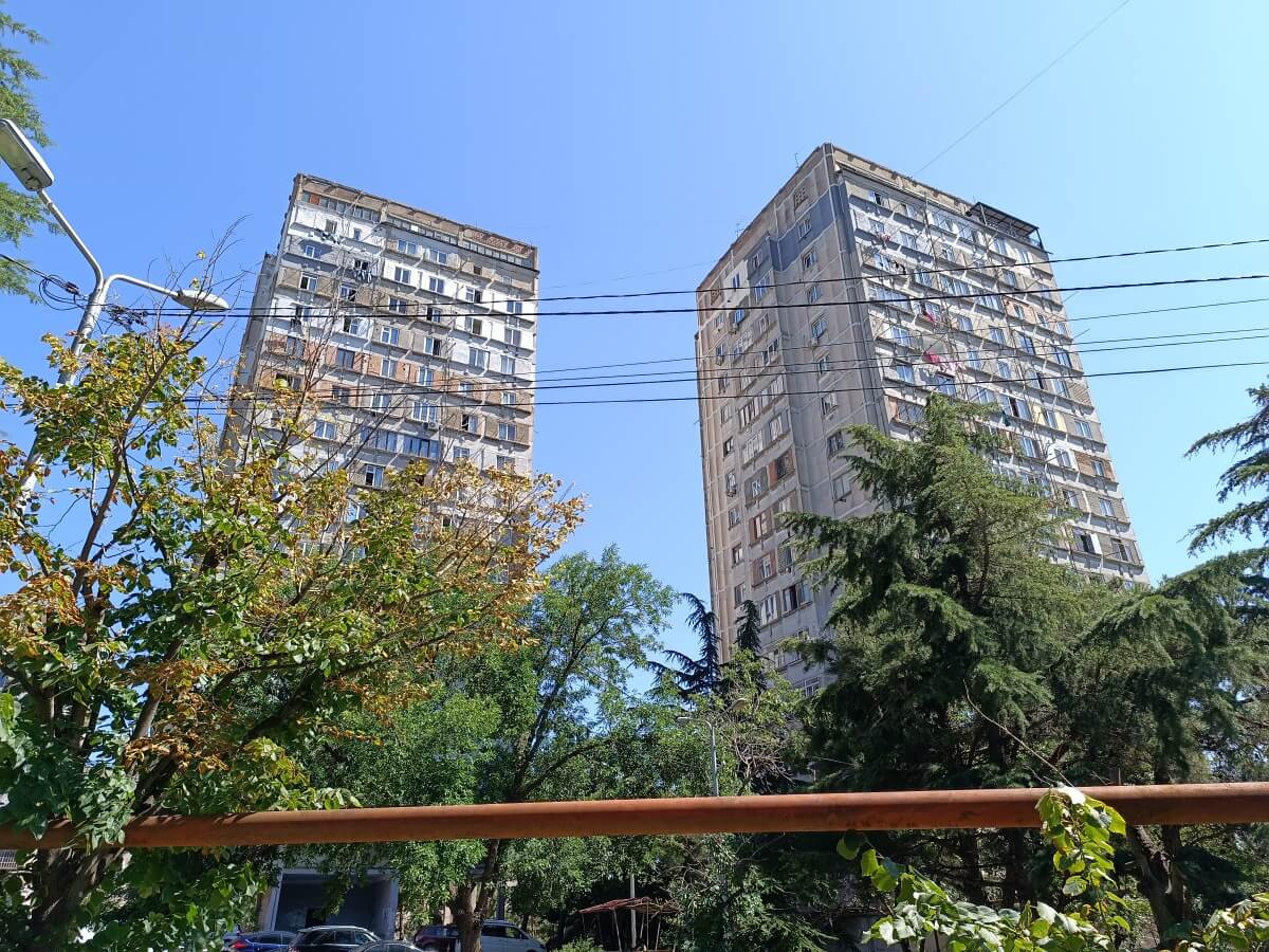
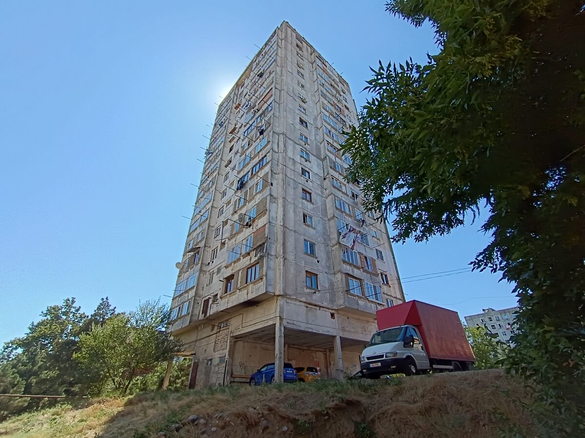
The main street of Vazisubani climbs the final stretch and reaches the outer edge of the residential district. The urban landscape remains unchanged here — the same Soviet-era panel apartment buildings continue across the entire area.
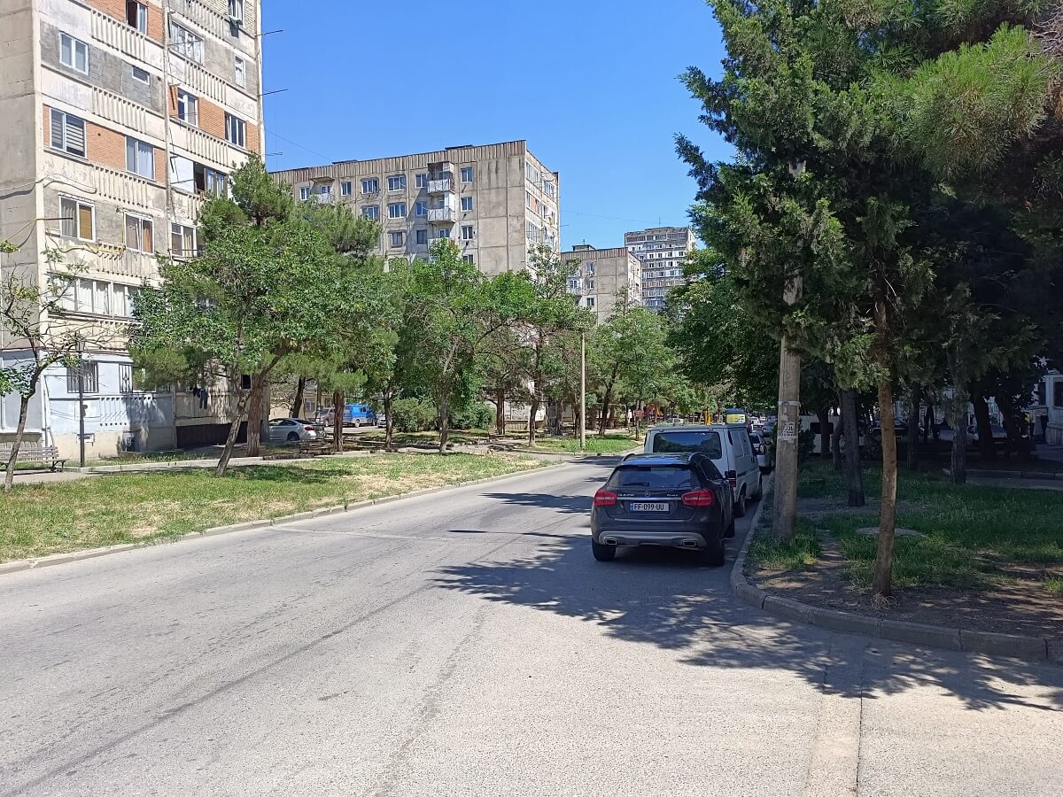
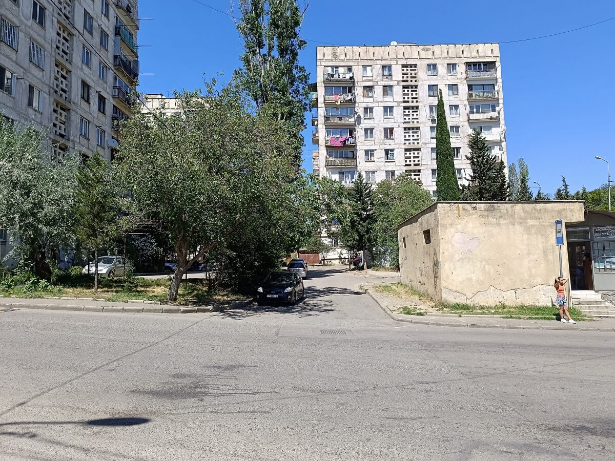
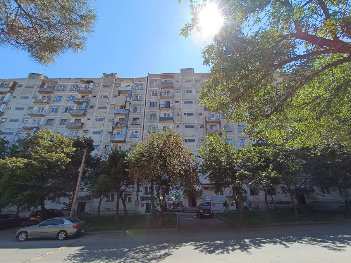
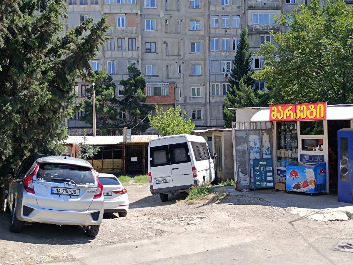
The elevation difference between the metro station and the upper bus terminal loop is around 130 meters.